
Science and data
A northern, coastal and varied setting that is still easy to reach makes Ny-Ålesund a unique place to build long time series. The work is organised in four flagship programmes, open to every scientist in the area.

Atmosphere
Measurements from the surface up to the upper atmosphere, using a wide range of techniques and instruments.
Glaciology
Most types of glacier in the high Arctic are close by. Midtre Lovénbreen and Austre Brøggerbreen hold the longest Arctic mass balance series in the world.

Kongsfjorden system
Warm Atlantic water flows into the fjord, making it highly sensitive to climate change and one of the most thoroughly monitored places in the Arctic.

Terrestrial ecosystems
A northern, coastal and varied landscape with a long research record, for in-depth studies of Arctic life and ecosystem processes.
Working across flagships. Changes in one sphere can’t be understood without the others, especially in the Arctic. The flagships chose the nutrient cycle, which links atmosphere, biosphere and cryosphere, as their first shared theme.
Long-term observations
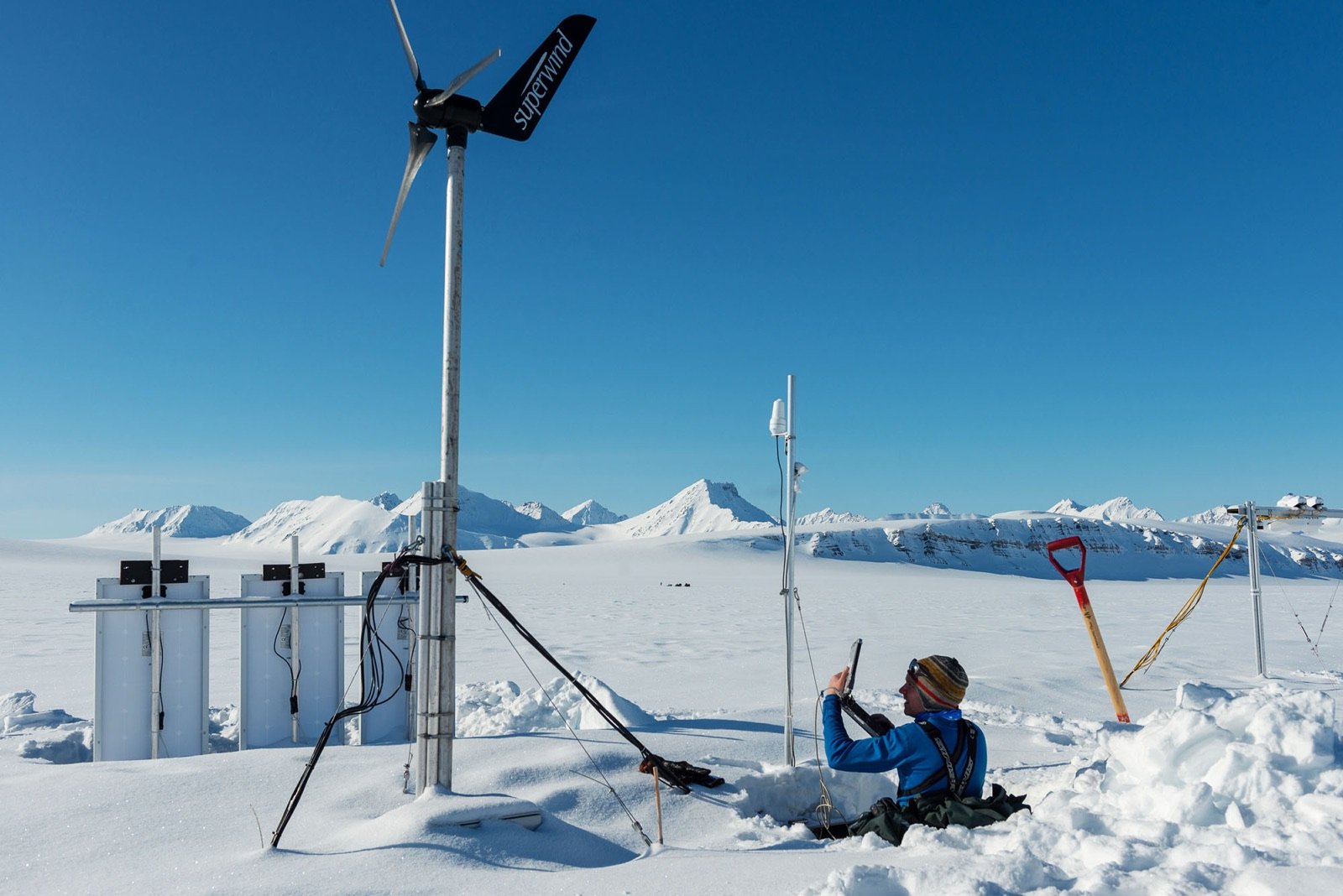
Decades of observations are the station’s most valuable scientific asset. Many Arctic changes only show up in data collected the same way for years. Through international networks, Ny-Ålesund data join observations from around the world.
- International Standardized Observing Networks
- About 30
- Other scientific networks
- About 20
When a series counts as monitoring
- Length. Usually more than five years, or shorter if the data are especially valuable and meant to continue.
- Quality. Consistent, documented methods, preferably to international standards, with a defined protocol.
- Open access. Data available in standard formats and in good time.
Open data
The research strategy for Ny-Ålesund asks for data to be as open as possible, as closed as necessary. Share yours through RiS, the Ny-Ålesund monitoring tool or SIOS.
Data quick looks
Maps and webcams
Ny-Ålesund has its own GIS of research instruments, installations and field sites, with more than 650 past and present objects. NPI maintains it, and it is open to everyone in Svalbardkartet.
- TopoSvalbardTopographic map with place names, updated glacier fronts and protected areas.
- SvalbardkartetThemed atlas with environmental data. Its Ny-Ålesund layer holds the station’s GIS.
- Offline mapsMaps of Svalbard, including geology, for mobile, tablet and PC.
- Ice chartsFrom the Norwegian Ice Service.
- Weather mapsFrom the Norwegian Meteorological Institute.
- InSAR mapGround movement on Svalbard.